Tuesday night we had our regular drill. As we were wrapping up the discussion of the waterfall came up. It was REALLY muddy. We had a quick burst of heat so it had melted a great deal of snow. There was flooding concerns and questions about the color of the waterfall. It could be 2 things. Just sediment and mud from the water moving so fast or it could be a mudslide up the canyon (which is not good) and means we might have more damage coming. Willard had a MASSIVE flood in 1983. Flooded the whole town. The waterfall looked exactly the same preflood.
2017

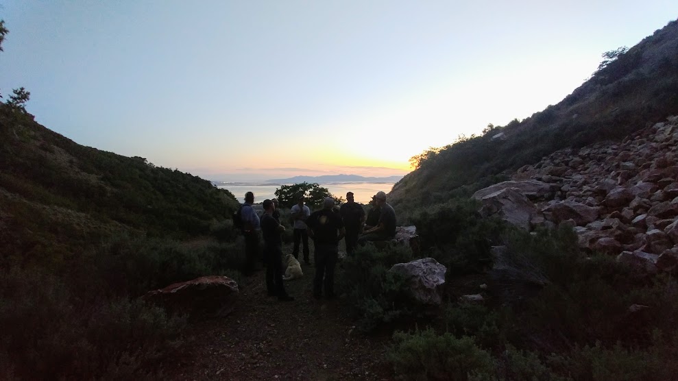
As a dept we made a decision to hike up the canyon and look for any flooding issues and see exactly where the problem was. Of course social media was already swarming with panic. The cool thing is 2 members of our dept actually built the waterline that runs above the waterfall. We set out with 10 of us hiking up the south side trail. We kept 4 or so people down at the bottom with our vehicles and in case we had a call so they were ready to respond.
You can see our vehicles clear down there.

I had never hiked the south side of the canyon, only the north.

It was so pretty!!


We took our radios and stayed in communications with the ones below. Plus we hiked up in 3 separate groups and stayed in contact.


The river was rushing. Thats for sure! But the good news is as far as we could see down the run off was clear. So that meant it was a lower problem probably from all the water coming down at such a high rate.

This is May 2017
Rod crossing the bridge, Nick waiting to cross

This is the same place mid Feb 2017

May 2017

Feb 2017

Me, Todd and Van
or Me, Assistant Chief and Chief

Todd and Van

We ended up just being under 3 miles making it a round trip. We came out the north side.
No comments:
Post a Comment